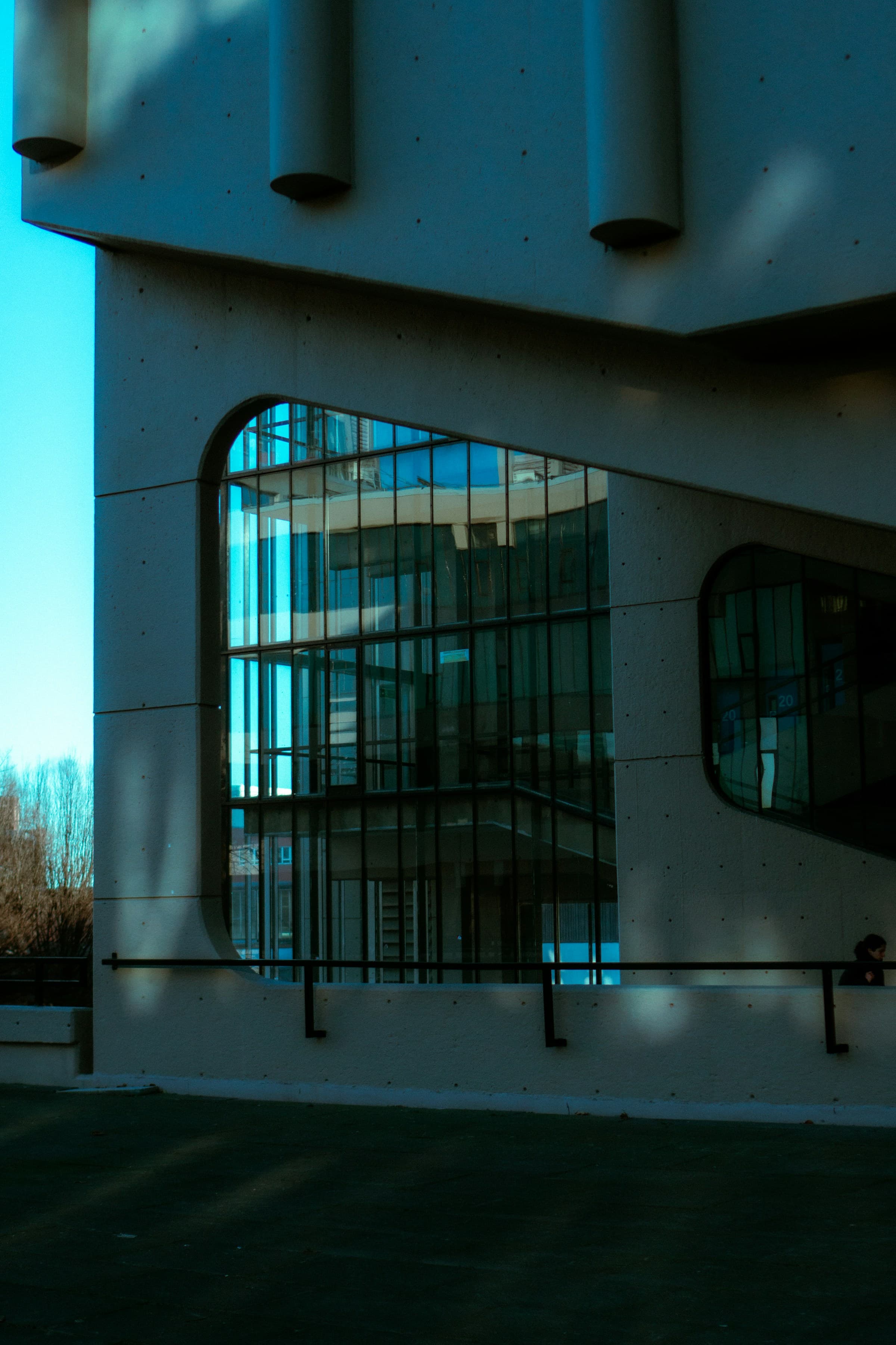
Spatial measurement
Capture the physical world.
Begin with a precise understanding of what exists. We capture and quantify complex physical spaces, creating the foundation for confident decisions.
- LiDAR
- Photogrammetry
- RTK / PPK
- SLAM
- 3D scanning
Technical terms, explained
- LiDAR
- Laser measurements represented as a detailed cloud of points.
- Photogrammetry
- Measurements and 3D information derived from overlapping photographs.
- RTK / PPK
- Positioning corrections used with satellite-based measurements.
- SLAM
- Mapping a space while tracking the capture system’s position.